GeoChat for Local Public Health and Population Health Agencies
Use high quality GIS without new licenses, staff, or training
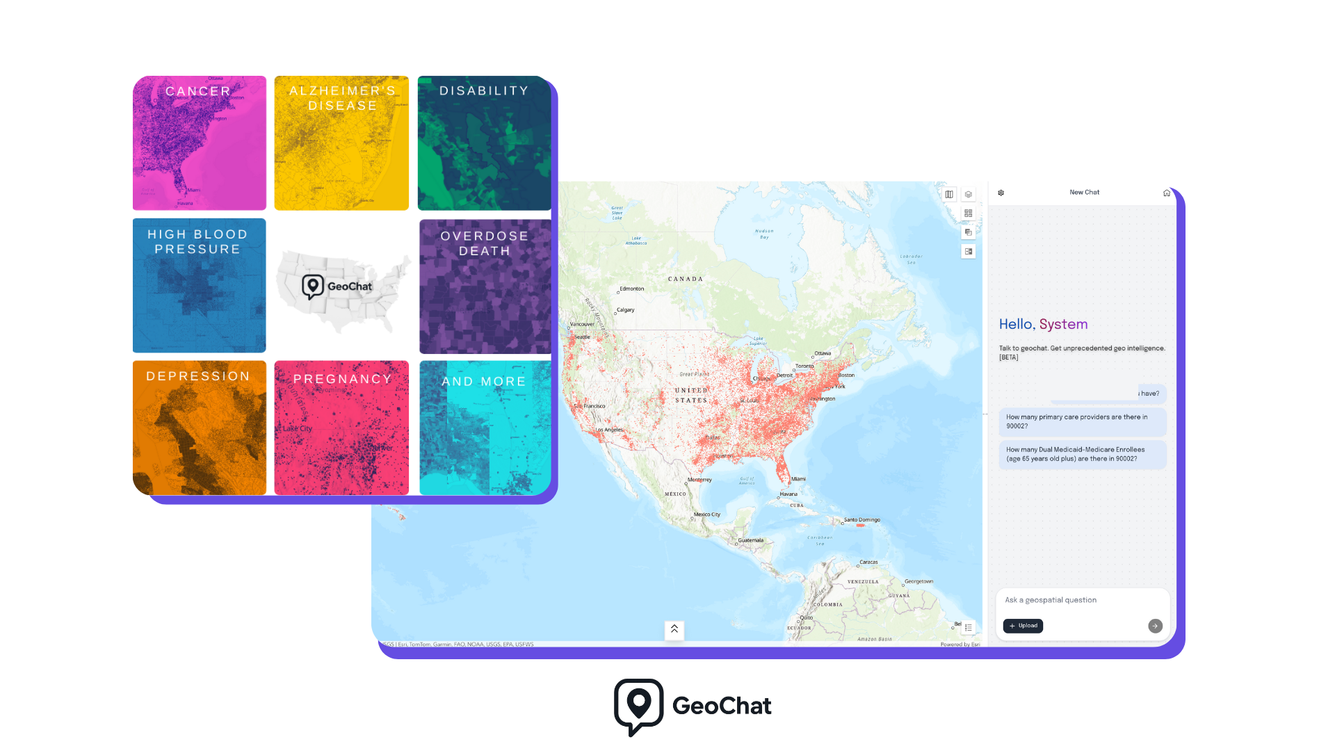
What you get
GeoChat gives local and state public health teams free access to curated GIS maps and datasets created by academic and practitioner experts. Our LLM helps your team find, understand, and apply geospatial data in real world decision making even if you do not have GIS specialists on staff.
Free access to a growing library of population health and public health GIS resources
Plain language search and guidance powered by an LLM
Clear explanations of methodology, assumptions, and limitations
Maps you can use for planning, targeting, communication, and reporting
Why this exists
Local public health teams make time sensitive decisions every day.
Relevant GIS data exists but is often:
Hard to find
Hard to interpret
Locked behind technical tools or academic silos
GeoChat removes those barriers by pairing high quality maps with AI guidance that explains what the data shows, how it should be used, and what to watch out for.
Get started
If you're interested in working with us, complete the form with a few details about your project. We'll review your message and get back to you within 48 hours. After review, our team will send the account activation keys for free access to your team.